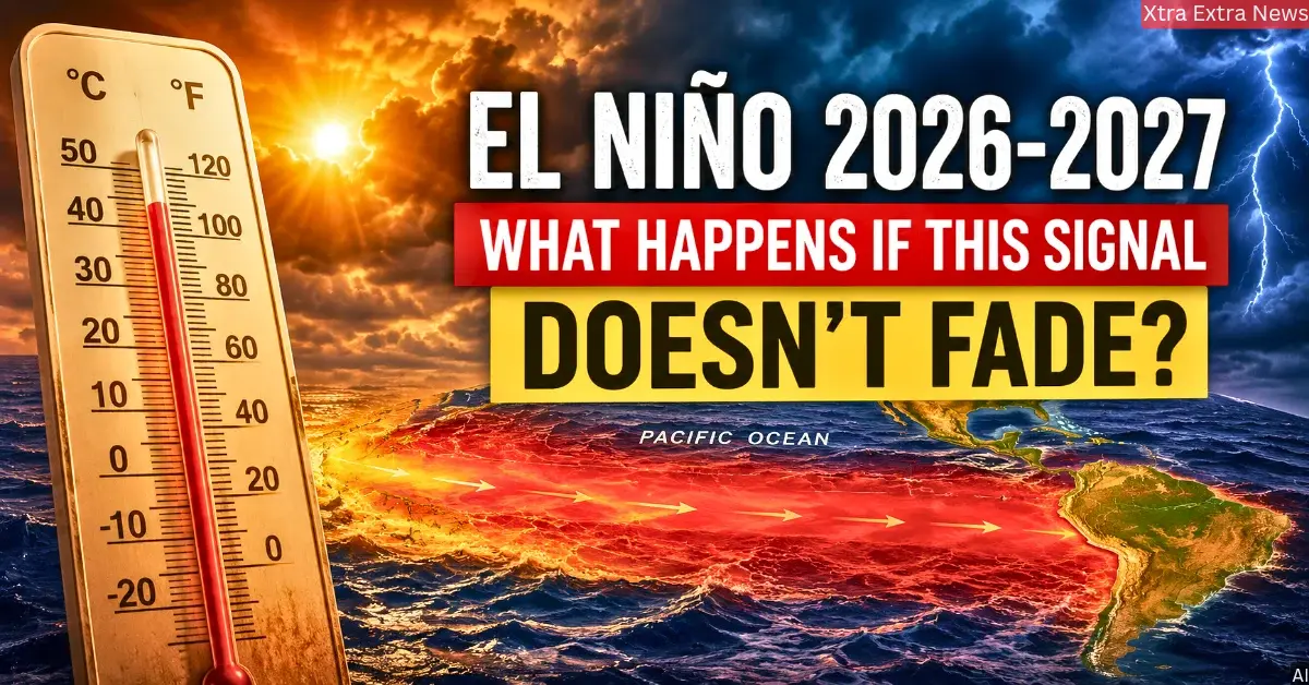

The Pacific Ocean is getting warmer. Climate experts are keeping an eye on this. A very strong El Nino is expected to arrive in 2026, and its effects may remain active through 2027. If it keeps growing instead of slowing down, it could change rain, heat, farming, and water supplies across the whole world. It may even push global temperatures high enough to make 2027 among the hottest recorded years.
Why Is The El Nino Forecast Getting So Much Attention Right Now?
Here is the thing – this is not just a normal weather update. This one feels different to scientists.
Many climate models show that El Nino conditions may start around mid-2026 and continue into early 2027. Researchers are mainly watching what is happening deep under the ocean instead of just watching surface waters.
Right now, a large area of very warm water is building beneath the equatorial Pacific Ocean. Warmth hidden deep inside oceans often comes upward later and raises surface temperatures further globally. When a lot of heat is sitting below, it can keep feeding El Niño for many months.
Scientists are also watching the trade winds. These winds normally blow from east to west across the Pacific and help keep ocean temperatures balanced. When trade winds become weak, warm water spreads east more easily, and that supports El Nino growth.
Right now, both the ocean and the winds are moving in a direction that supports a stronger El Niño. That is why climate agencies around the world are watching every new update very closely.
Could This Become One Of The Strongest El Ninos Ever?
El Niño strength is measured using ocean temperatures in a region called Niño-3.4. El Niño is officially declared when ocean temperatures remain at least 0.5°C higher than average for many continuous months. Strong events rise above 1.5°C. Above 2.0°C, it becomes what scientists call a Very Strong or Super El Niño.
Some current forecasts show ocean temperatures could rise far above normal later in 2026. A few models even show numbers that look similar to some of the strongest El Niño events ever recorded.
Scientists are now comparing this situation to three historic events — 1982-83, 1997-98, and 2015-16. All three caused serious floods, droughts, broken temperature records, and major economic damage worldwide.
This climate pattern prediction is quite critical since significant amounts of heat have already built up beneath the ocean’s surface. Forecasts can never be 100% certain. However, according to some specialists, the current situation is quite similar to previous high-impact instances.
Also Read: 12 Countries On Alert After Hantavirus Cruise Deaths
What Kind Of El Nino Weather Effects Might Different Countries Experience?
If this climate pattern keeps growing, El Nino weather effects could be felt in many parts of the world and not in the same way everywhere.
Some regions may get much less rain than normal. Australia, Indonesia, parts of Southern Asia, and parts of the Amazon could face serious drought. Less water means stress on rivers, farms, and forests. Very dry conditions also increase wildfire risk, as fires can spread faster and burn for longer.
Other regions may get too much rain. East Africa, Peru, Ecuador, northern Mexico, and parts of the southern United States often see heavy rainfall during El Niño years. This can bring flooding, landslides, and damage to homes and roads.
Farming could suffer in both situations. Low rainfall causes smaller crop production in several countries around the world. Too much rain destroys crops in others. When food production drops in many places at the same time, food prices can rise globally.
Storm patterns may also shift. This climate pattern usually reduces the formation of hurricanes in the Atlantic Ocean region. But the Central and Eastern Pacific may see more tropical storms and cyclones.
Could The El Nino Heat Impact Make 2027 The Hottest Year Ever?
This is the big question many scientists are already asking.
A strong El Niño releases large amounts of ocean heat into the atmosphere. This warming effect often peaks after climate pattern reaches its strongest point. El Nino heat impact could drive temperatures higher across 2027 if late 2026 sees strong El Nino conditions.
There is another important factor here. Long-term global warming has already made oceans and the atmosphere warmer than they were during past El Nino events. So when a strong El Niño arrives on top of already-warm conditions, the combined effect can be much bigger – more heatwaves, longer periods of extreme heat, damaged coral reefs, and heavier rainfall in some areas.
What Happens Next? The Next Two Months Are Critical
The next two months could decide everything.
For this climate pattern to keep growing, the trade winds must stay weak and ocean-atmosphere interaction must keep strengthening. But this is not guaranteed. Stronger winds or changing ocean conditions could still slow things down.
During June and July, scientists will closely watch ocean temperatures, heat stored below the surface, wind patterns, and air pressure changes. These observations will show whether this El Nino forecast is heading toward a moderate event or one of the most significant climate events in recent decades.
Also Read: Mystery Behind The Suicide Note in Twisha Sharma Case

 By
By